Details
DJI Mavic 3 Thermal incl. 1 year Care Basic
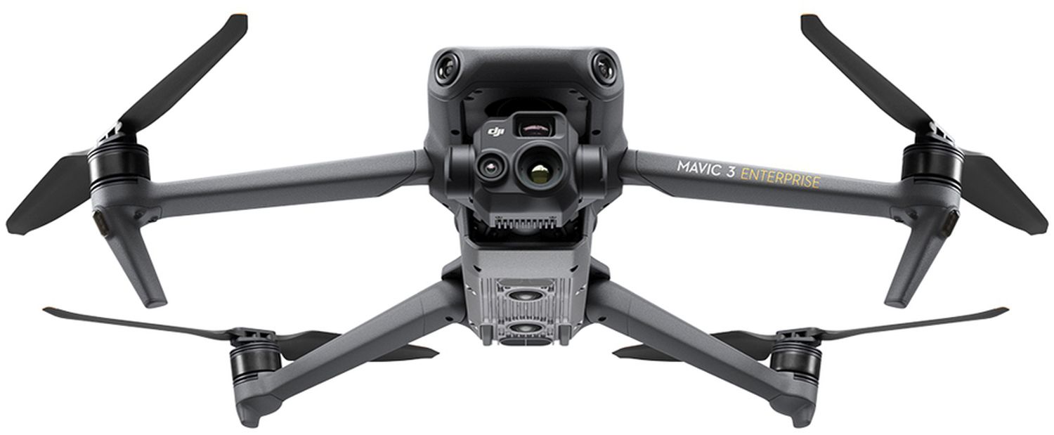
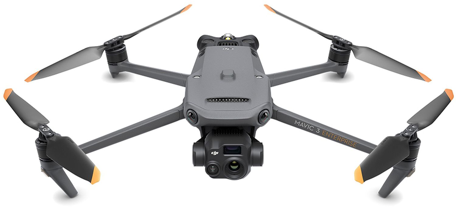
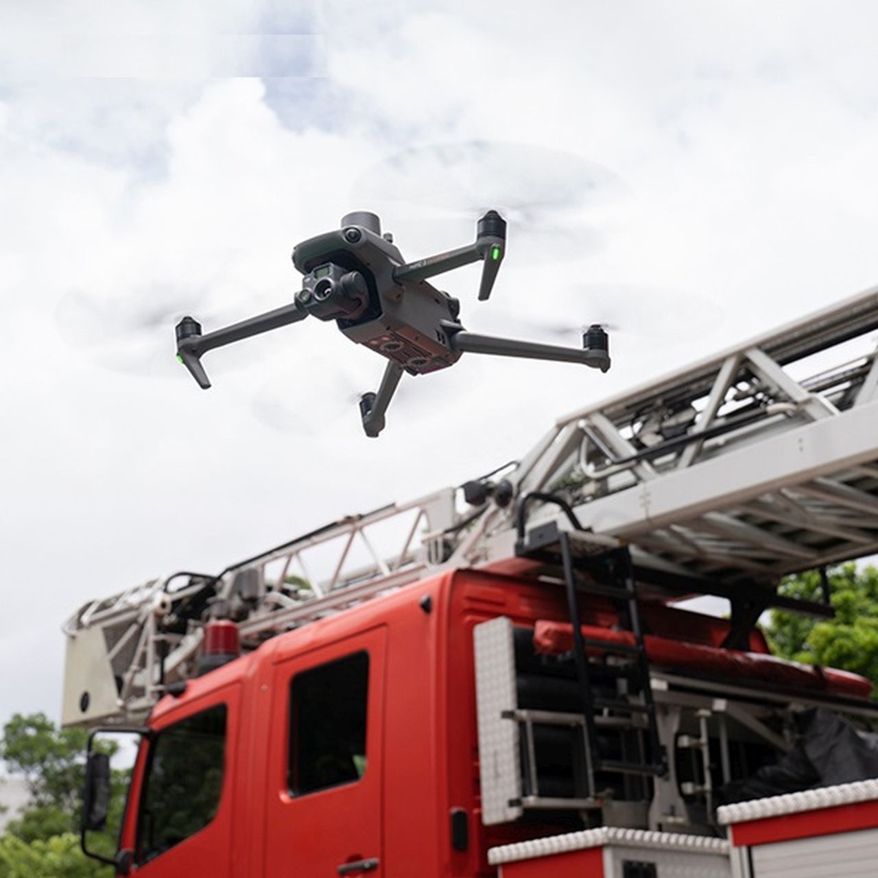
The DJI Mavic 3 Enterprise redefines industry standards for small commercial drones. With a mechanical shutter, a 56x Zoom camera and an RTK module (optional) for centimeter-accurate precision, the DJI Mavic 3E takes mission efficiency to a new level. The version with thermal imaging camera is ideal for fire departments, rescue teams, inspections and night missions.
Compact and handy
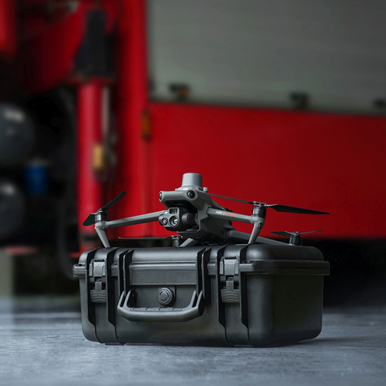
The optimized and compact Mavic 3 Enterprise series can be carried in one hand and deployed in no time. It is perfect for both beginners and experienced pilots and is designed for long missions.
Countless possibilities
- Wide angle: Equivalent focal length 24 mm, 48 MP
- Telephoto: Equivalent focal length 162 mm, 12 MP, 56× hybrid zoom
- Thermal image [2]: Diagonal field of view: 61°, equivalent focal length 40 mm, resolution 640×512
Improved performance in low light
The Mavic 3E's wide-angle camera has large 3.3 μm pixels which, together with the intelligent night scene mode, offer significantly improved performance in low light conditions.
Focus and find
Both the Mavic 3E and Mavic 3T are equipped with a 12 MP Zoom camera that supports up to 56x hybrid zoom to see important details from a distance.
Making the invisible visible
The Mavic 3T's thermal camera has a resolution of 640×512 and supports point and area temperature measurements, temperature alerts, color palettes and isotherms to help you make decisions faster. [2]
Synchronized split-screen Zoom
The Mavic 3T's thermal and Zoom cameras support 14x continuous and simultaneous Zoom for easy comparisons. [2]
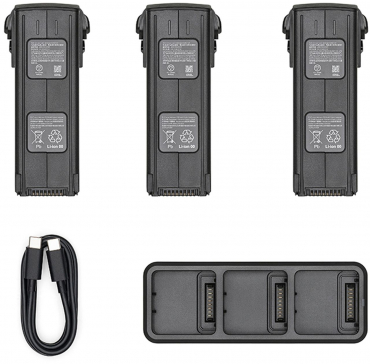
Exceptional operational efficiency - batteries with endurance
With a flight time of 45 minutes, you can cover larger areas with each mission and survey up to 2 square kilometers in a single flight. [3][5]
Max. Flight time: 45 min [3]
Survey area per flight: 2km² [5]
Next generation image transmission
The four antennas of the O3 Enterprise transmission enable more stable connections in numerous complex environments.
Omnidirectional detection for safe flying
Equipped with wide-angle lenses on all sides for omnidirectional obstacle avoidance without blind spots. Collision warnings and braking distance can be adjusted according to application requirements. [6]
The improved return function automatically plans the optimum route back to the starting point, saving power and time and avoiding nasty surprises.
APAS 5.0 enables automatic rerouting around obstacles so you can fly with peace of mind. [7]
DJI RC Pro Enterprise [8]
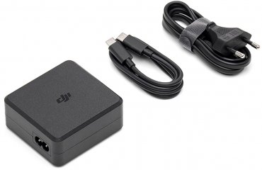
The remote control has a bright 1,000 nit screen for clear visibility even in direct sunlight, a built-in microphone for clear communication and can be charged in just 1.5 hours with 65W fast charging.
Complete software package
- DJI Pilot 2: The new app for enterprise customers has been redesigned from the ground up to give you even more efficiency and flight safety. Drone and payload control can be easily accessed with one click. The clear display of flight and navigation details, together with support for different flight routes, makes operation much easier.
- DJI Flighthub 2: Drone management in the cloud with support for live annotations and cloud mapping for seamless ground-to-cloud synergies. Manage inspection operations efficiently with route planning and mission management.
- DJI Terra: Full-featured mapping software for all phases of work, from mission planning to 2D and 3D model processing.
- DJI Thermal Image Analysis Tool 3.0: Analyze, annotate and process images captured by the M3T with DTAT 3.0 to quickly identify temperature anomalies during your inspections.
Data security:
- Local data mode
- Delete all device files with just one click
- AES-256 encryption for video transmission
- Cloud API
Open developer ecosystem
- PSDK: PSDK is a standardized interface that enables the functional extension of the Mavic 3 Enterprise series with third-party hardware.
- MSDK: Mobile SDK 5 simplifies the development of apps for the Mavic 3 Enterprise series. Mobile SDK 5 is fully open source and comes with programming examples covering the core modules of DJI Pilot 2.
- Cloud API: With DJI Pilot 2's built-in MQTT-based protocols in the DJI Cloud API, you can connect the Mavic 3 Enterprise series directly to third-party cloud platforms without having to develop an app. Access the drone's hardware, video livestream and photo data.
Notes:
(1) Only available for Mavic 3E.
2. do NOT expose the lenses of the thermal camera to strong energy sources such as sun, lava or laser beams. Otherwise, the camera sensor may be permanently damaged.
3. measured at a constant speed of 32.4 km/h at sea level with no wind. For reference only. Please always follow the return warnings in the DJI Pilot 2 app.
4 Accessories sold separately.
5. at a Ground Sampling Distance (GSD) of 5 cm, with a front overlap rate of 80%, a side overlap rate of 60% and an airspeed of 15 m/s.
6. please do not fly in bad weather such as strong winds (wind speeds of 12 m/s or more), snow, rain, lightning, fog, etc. Do not fly at altitudes above 6,000 meters. Do not fly at temperatures below -10 °C or above 40 °C. Do not take off on moving surfaces (e.g. moving cars, boats). To ensure proper operation of the visual positioning system, do not fly over reflective surfaces such as water or snow, and fly in a well-lit environment when GNSS signals are weak. Poor lighting conditions can cause the visual sensors to malfunction. Please pay attention to flight safety when flying near sources of electromagnetic interference. Common sources of electromagnetic interference are power lines, high-voltage transmitting stations, radar stations, mobile phone base stations, transmission towers, Wi-Fi hotspots, routers, Bluetooth devices, etc.
7. only supported in manual flight mode. Care should be taken when flying in hazardous environments.
8. currently only available with the purchase of the DJI Mavic 3 Enterprise series.

Simply subscribe and benefit as a newsletter recipient every week: